Indian Ocean World Centre
Digitization of Indian Census Districts 1872 to Present
The Appraising Risk partnership is developing a variety of innovative approaches to the extraction and digitization of historical data from cartographic source materials. Central to… Read More »Digitization of Indian Census Districts 1872 to Present
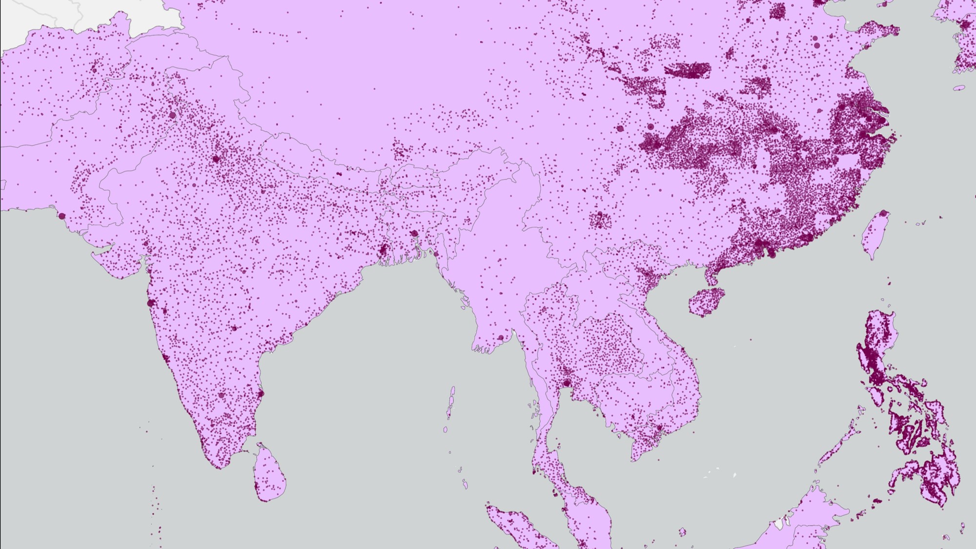
Contemporary Cities and Villages
Our contemporary dataset draws from a variety of gazetteer sources, and includes over 45,000 cities and towns.
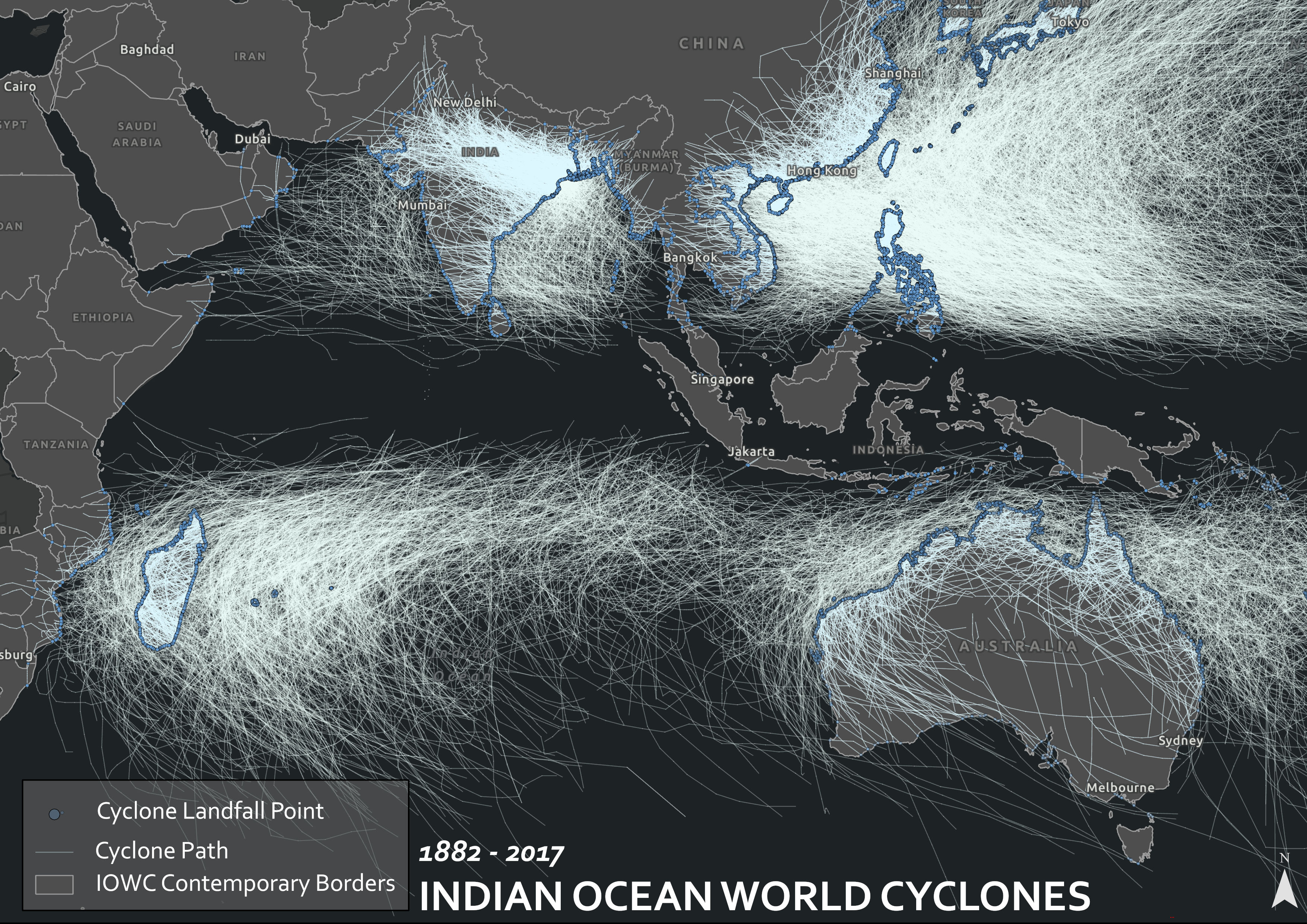
Visualization of Cyclone Paths and Landfall Points 1833 – 2019
Taken from the NOAA International Best Tracks Dataset, this visualization shows the paths of all recorded hurricanes in the Indian Ocean World (in white), as… Read More »Visualization of Cyclone Paths and Landfall Points 1833 – 2019
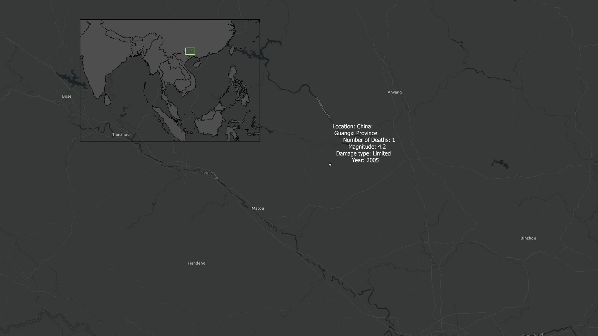
Gazetteer Example: China Guangxi
Our gazetteer draws on historical data from Harvard’s China Historical GIS database.
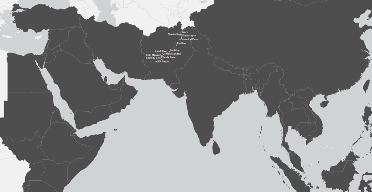
Gazetteer Example – Afghanistan
Gazetteer entries are drawn from a variety of sources, such as these towns on the Eastern edge of Afghanistan converted from entries in the geonames… Read More »Gazetteer Example – Afghanistan
